Our Technology
Technologies
TechnologiesWorld Class Satellite Analysis
RainbirdGEO offers a new solution to climate change response through geostationary satellite algorithms.
01.
Thunderstorms

02.
Wildfires

03.
Wind Waves

Core technology
Early Detection Technology for Thunderstorms
In tropical atmospheres, it is hard to predict when or where thunderstorms will develop.
However, this is only possible through geostationary satellites. RainbirdGEO has developed algorithms to detect fast-developing tropical thunderstorms in their early stages by analyzing high-resolution observations from geostationary meteorological satellites. This is called satellite-based ‘Nowcasting’ technology. To prevent damage caused by heavy rainfall (e.g., floods and landslides), RainbirdGEO’s early detection technology for thunderstorms aims at predicting these events at least 2 hours in advance. With the recent development of AI technology, we are improving the prediction lead time and accuracy.
Our Technologies
RainbirdGEO’s Core Technology
RainbirdGEO utilizes its proprietary satellite remote sensing technology and disaster prediction algorithms to notify and manage climate risks.
Through six advanced technologies, RainbirdGEO offers superior real-time monitoring and prediction of climate risks across the Asia-Pacific and Africa.

01.
Early Detection Technology for Thunderstorms
Early detection of thunderstorms in the tropical atmosphere aims to detect thunderstorms 2 hours in advance through an algorithm that analyzes Geostationary Meterological Satellite data. Currently, in Southeast Asia, the detection rate averages 85%, and the false detection rate averages 30%.
02.
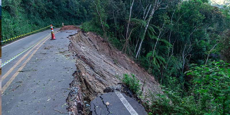
Risk Detection Technology for Flash Floods, Wind Waves, and Landslides
In the immediate aftermath of a thunderstorms, the damage caused by disasters can be determined in advance through the accumulated database of Geostationary Meteorological Satellites, allowing people to prepare for the situation.
03.
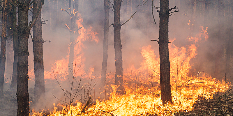
Wildfire Detection Technology
We analyze the data generated by the imaging sensor of the Geostationary Meterological Satellite to detect Wildfire in real-time 24 hours a day. With our technology and the Chollian satellites that take pictures all the time, we can increase the efficiency of forest fire surveillance, enablel rapid initial extinguish fires, and monitor

04.
Air Pollution Monitoring Technology
Aerosol optical depth thickness calculated by Geostationary Meteorological Satellites using reflected light from solar radiation, can alert high-concentration air pollutants and is useful for most developing countries where air pollution is severe in dry seasons but with no observation equipment for air quality on the Earth’s surface.

05.
Energy Prediction and Estimation Technology
We analyze the night luminance data observed from satellites to analyze trends in energy usage, blackout areas and periods in case of disasters, and disaster resilience of cities.

06.
Vegetation and Greenhouse Gas Analysis Technology
We comprehensively analyze the vegetation index from satellites and process it into useful information such as carbon sinks and greenhouse gas emission concentrations.
ICT Solution
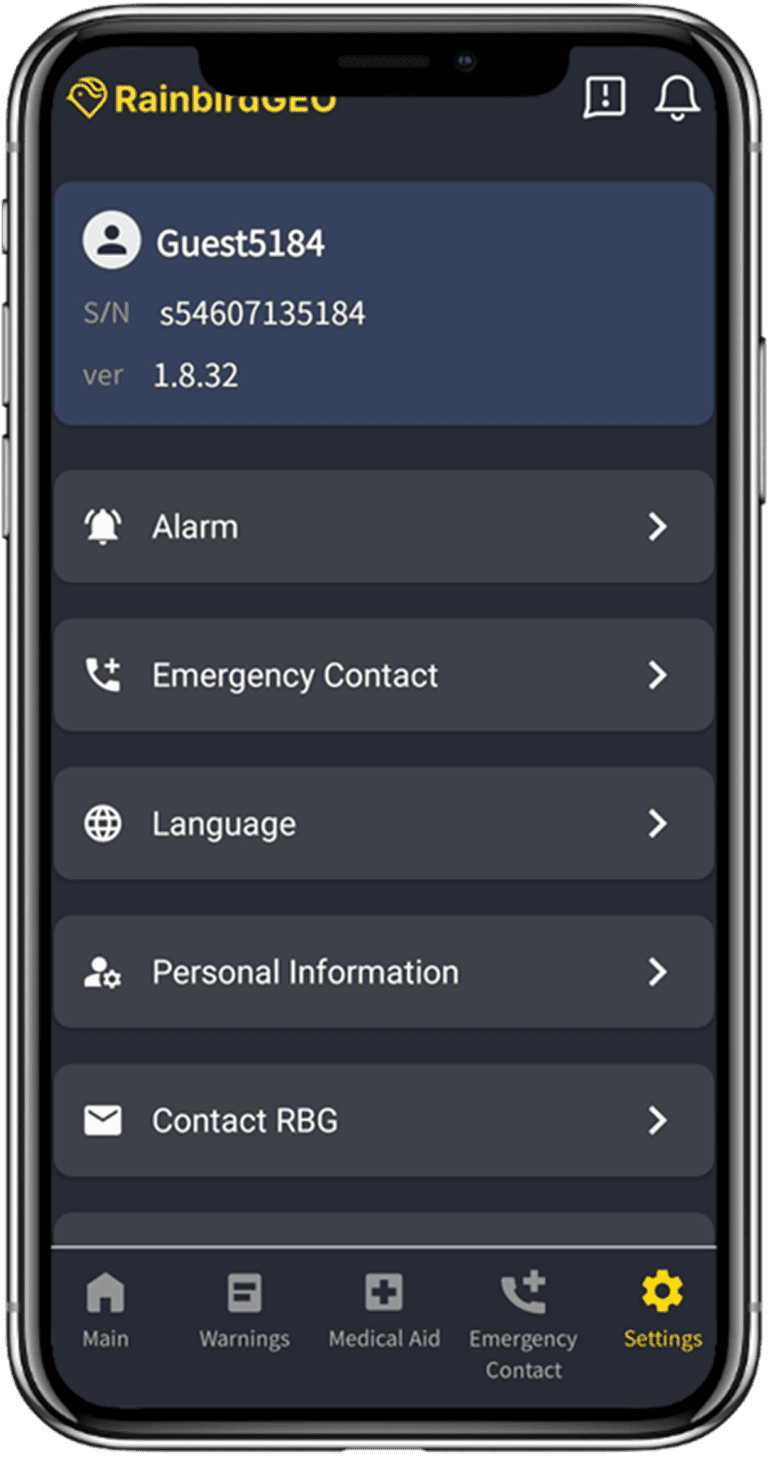
Rainbird AppCustomized Solutions
We provide app services tailored to customer needs, offering customized solutions and actionable insights that consider effectiveness and regional suitability.
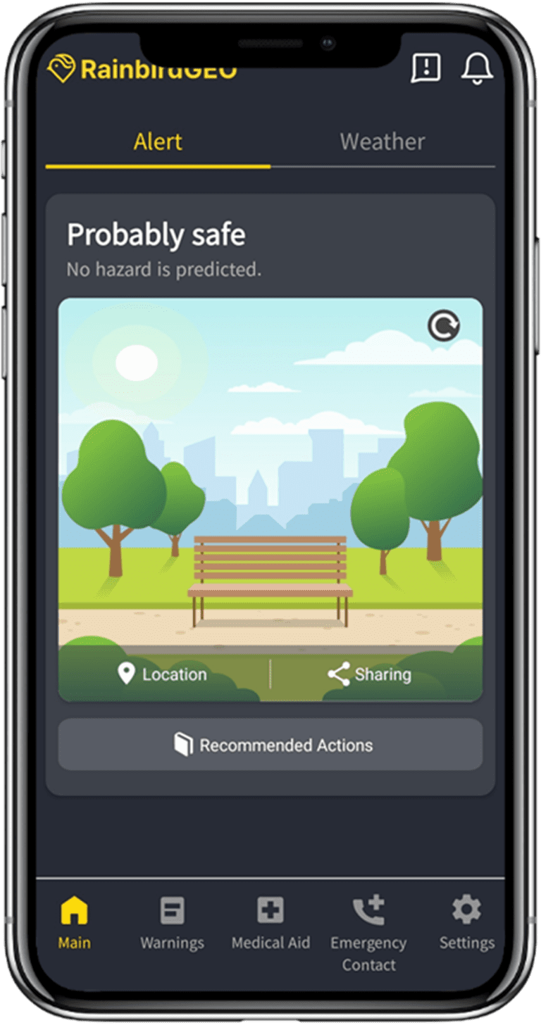
'Rainbird App' Limited Public Version (Available in Asia-Pacific and Africa)

▲ AOS Download

▲ IOS Download
Consulting
RainbirdGEO provides professional consulting services on climate, environment, and disaster risk management to customers worldwide who want to utilize satellite data.
Science-based Management
- Climate vulnerability analysis, climate projection, and prediction in countries/regions
- Institutional management strategies based on the interpretation of various climate risk information
Practical Training
- Courses of climate risk management and professional satellite data utilization for managers in the climate risk and ESG departments
- Emergency response instructions and hazard alert receiving methods for vulnerable groups and regions
RainbirdGEO’s technologies have been developed in close collaboration with the Center for Climate/Environment Change Prediction Research (CCCPR) and the Climate System Laboratory (CSL) at Ewha Womans University, led by Professor Yong-Sang Choi.

