RainbirdGEO

For a world where everyone is equally safe from climate risks, RainbirdGEO takes a step forward.

For a world where everyone is equally safe from climate risks, RainbirdGEO takes a step forward.

RainbirdGEO Focuses On

Climate risks and disasters have threatened our sustainable lives.
UN ESCAP estimates that the loss caused by disasters in the Asia-Pacific region is more than 675 billion USD won annually.
Due to the response focused only on post-disaster recovery, we are experiencing a serious social problem with repeated disasters every year.

Values of RainbirdGEO

Through RainbirdGEO’s technology, we would like to contribute to resolving the imbalance in disaster information, improving the vulnerability of climate risks, and adapting to climate change.

Our Mission

To improve climate risk management capabilities and mitigate damage in developing countries in Asia

Our Vision

A leading contributor to climate disaster prevention and solution

RainbirdGEO

RainbirdGEO is the first startup founded by a professor of Ewha Womans University ELTEC College of Engineering and a cutting-edge climate tech company. Since its foundation in 2017, RainbirdGEO has closely collaborated with international organizations such as UNEP, GCF, APCC, and global NGOs to predict climate risks and prevent disasters in developing countries in the Asia-Pacific region.

RainbirdGEO's Main Projects

RainbirdGEO expands its impact by strengthening meteorological competence and building climate risk response management systems in developing countries that need its technology.

RainbirdGEO’s Core Technologies

We use satellite remote sensing technology and disaster prediction algorithms to inform and manage climate risk proactively.

Early Detection Technology for Thunderstorm

In Southeast Asia, the average detection rate 85% and the false-positive rate 35%.

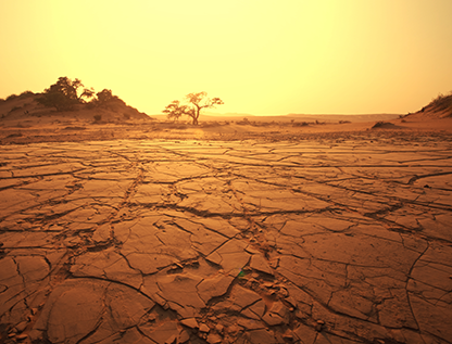
Risk Detection Technology for Flash Floods, Wind Waves, and Landslides

Prepare for the situation by pre-determining disasters through the accumulated database of Geostationary Meteorological Satellite

Forest Fire Detection Technology

Detect forest fires in real-time 24 hours a day, using Geostationary Meteorological Satellite

Air Pollution Monitoring Technology

Alerting high concentrations of air pollutants using reflected light from solar radiation

Energy Consumption Analysis Technology using Night Luminance

Analyzing energy usage trends, blackout areas and durations during disasters, and the city's disaster resilience.

Vegetation Index and Greenhouse Gas Concentration Analysis Technology

Comprehensively analyzing vegetation index to process them as useful information, such as carbon sinks and greenhouse gas emission concentrations.

RainbirdGEO's Partners

RainbirdGEO works with international organizations, countries, public institutions, NGOs, and companies to solve climate problems.