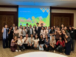
 The SAARC and ROK representatives in the seminar
Seoul, Republic of Korea – On November 1, the 14th South Korea-SAARC Climate Change Seminar was held at the Lotte Seoul Hotel. The seminar, which has been held annually since 2010, brings together representatives from SAARC countries to discuss climate change issues in the South Asian region and to explore technological and social solutions from South Korea.
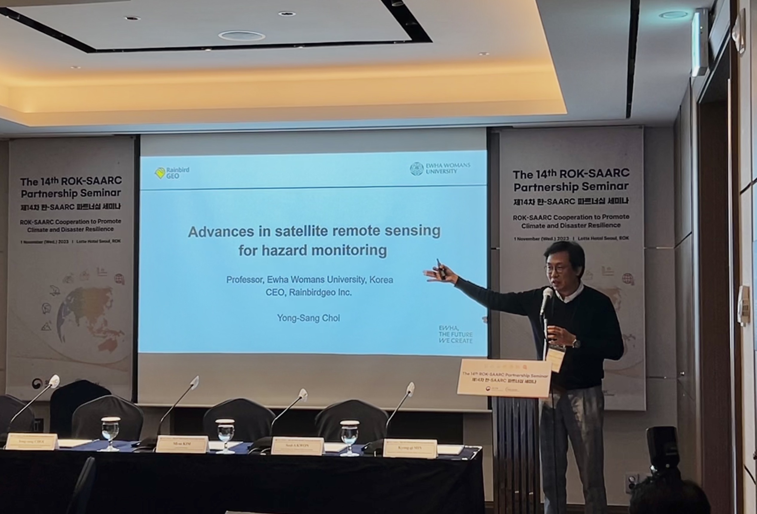
Professor Choi and his presentation in Session 2
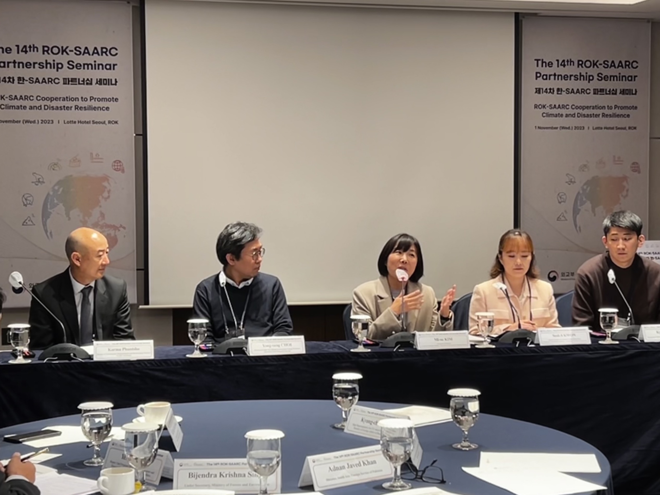
Q&A Session
RainbirdGEO CEO Professor Choi was honored to participate in the seminar this year and presented his research on the application of the Korean cutting-edge geostationary weather satellite and disaster risk early warning algorithms on mobile phones.
Representatives from SAARC including Bangladesh, Pakistan, Bhutan, and Nepal attended the seminar. The Republic of Korea was represented by professors and researchers from major universities, including Ewha Womans University, Chungbuk National University, KDI School of Public Policy Management, and the University of Foreign Studies which offer innovative technologies, policies, and disaster safety innovation solutions in climate, disaster risks, and climate change. In session 1, the SAARC representatives shared presentations about the most fierce disasters that their countries face, their disaster response systems, challenges, and limitations in disaster prevention. In session 2, the ROK representatives presented the most appropriate solutions including technologies, policies, and social solutions that could be effectively applied in the region.
The representative of Bangladesh in his presentation:
“Bangladesh is the most vulnerable country in South Asia due to climate change”
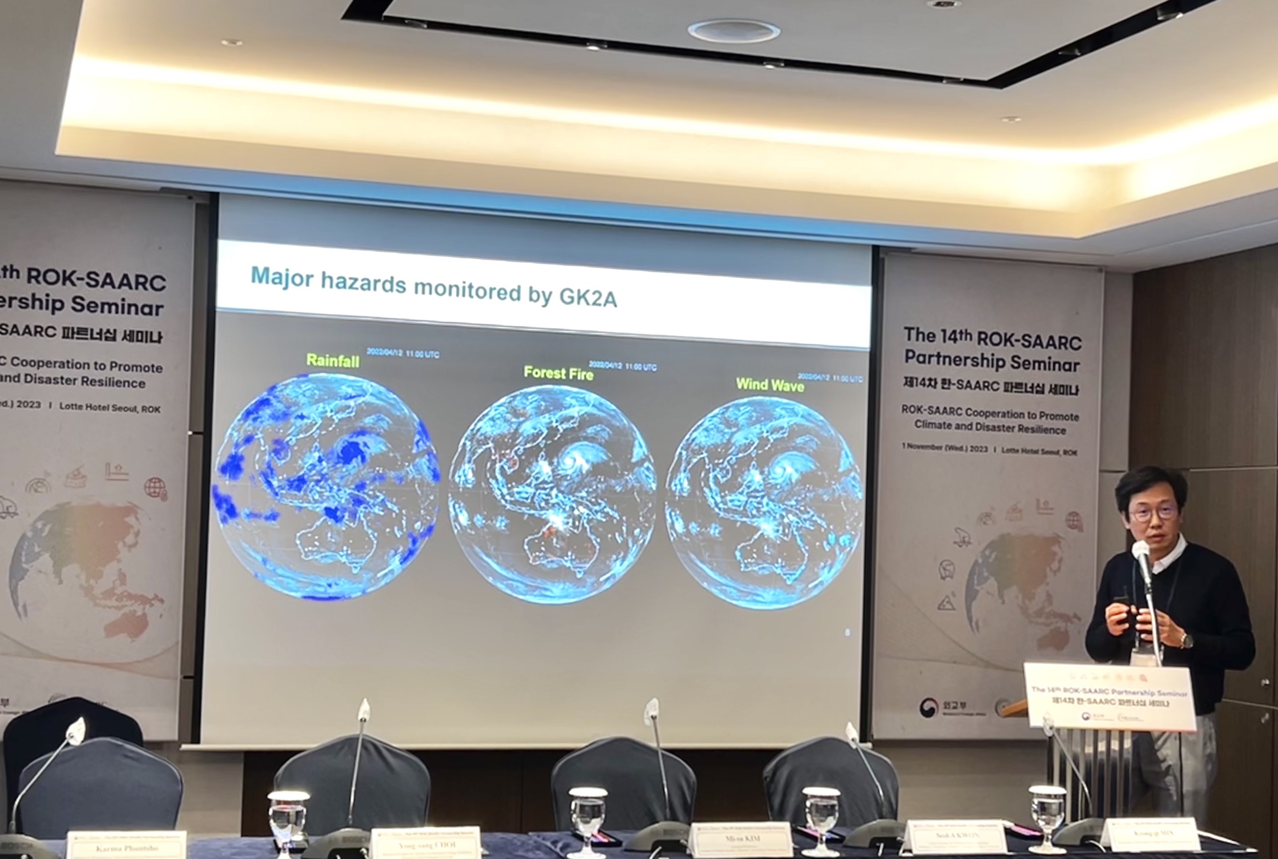
In his part, Professor Choi highlighted the strengths of South Korea’s latest innovative climate satellite technologies. The GK2A (GEO-KOMPSAT_2A) meteorological satellite is one of three meteorological satellites that observe the South Asian region, along with satellites from China (Fengyun-3C) and Japan (Himawari 8). However, GK2A is the only satellite with high-resolution images (higher than those of the Himawari 8 satellite) and an open meteorological source (Fengyun-3C data is not allowed for sharing outside the country). Therefore, GK2A is the only cutting-edge meteorological data source option available for the region. In the second part of his presentation, Professor Choi discussed the applications of the GK2A meteorological satellite data through disaster risk early warning algorithms on mobile phones. He also introduced Rainbird, the only mobile application in the Republic of Korea and the region that utilizes meteorological data from GK2A and can send early warning alerts/messages about optional natural disaster risks 1-2 hours in advance. The app reaches an accuracy of up to 85% and a false alarm rate is less than 10%. This provides an optimal practical solution in emergency situations for users in areas in extreme conditions of natural disasters and climate change, such as the Himalayas in Nepal, Bhutan, or Bangladesh.
During the Q&A session, the Nepalese Undersecretary, Ministry of Forests and Environment, Mr. Bijendra Krishna Singh expressed his interest and desire to learn more about the Rainbird app. He shared that he would like to introduce the usefulness of the app to communities and organizations in Nepal due to the severity impacts of natural disasters.
The 14th South Korea-SAARC Climate Change Seminar provided an opportunity for representatives from the four countries in the region to share information about their natural disaster situations and responses. This is also an opportunity for the Republic of Korea to effectively support the SAARC countries with all technologies, facilities, and financing in terms of adapting and mitigating the impacts of climate change-related natural disasters. This will help SAARC countries to be more self-reliant in emergency situations and to work together towards sustainability in the region.
Read this news in Korean The Ministry of Foreign Affairs Korea
About RainbirdGEO
RainbirdGEO is a leading climate-related information and services provider. The company’s mission is to improve climate risk management capabilities and mitigate damage in developing countries in Asia. RainbirdGEO’s services include regionally tailored multi-hazard early warning systems, regional climate maps, API/FTP data analysis, and climate-related consulting services.
Contact us at support@rainbirdgeo.com for questions and requests or
Learn more at https://rainbirdgeo.com/